
Tech
NASA City Lights: How Satellite Images Reveal the Story of Our Planet

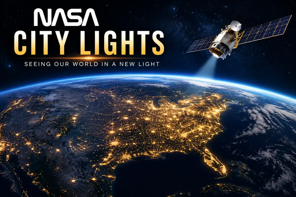
When people think of NASA, they often imagine astronauts, rockets, or distant planets. However, some of the agency’s most fascinating work happens much closer to home. One of its most well-known projects involves capturing Earth’s glowing cities from space. These remarkable nighttime images have transformed the way scientists study human activity, energy consumption, urban expansion, and environmental change. More than just beautiful photographs, nasa city lights imagery provides valuable scientific data that governments, researchers, and planners use to make informed decisions. This article explores how these images are created, why they matter, and what they reveal about life on Earth after dark.
What Is NASA City Lights?
The term nasa city lights refers to satellite imagery that captures artificial lighting across Earth’s surface during nighttime. These images are produced using highly sensitive instruments aboard satellites orbiting the planet. Unlike standard daytime satellite photos, nighttime observations detect even small sources of light such as street lamps, homes, buildings, highways, ports, and industrial facilities.
These glowing patterns provide a unique perspective on human civilization. Large metropolitan areas appear as brilliant clusters, while rural regions remain much darker. Scientists can compare these images over time to observe changes in development, population growth, and infrastructure expansion.
How NASA Captures Nighttime Images
Capturing Earth at night is far more challenging than taking photographs during the day. Satellites must detect extremely faint light while moving thousands of kilometers above the planet at incredible speeds. Advanced sensors are designed to distinguish artificial lighting from moonlight, clouds, wildfires, lightning, and atmospheric effects.
One of the most important instruments used for this purpose is the Visible Infrared Imaging Radiometer Suite (VIIRS). Installed on weather-monitoring satellites, VIIRS collects high-resolution nighttime data every day. These observations are then processed to remove temporary light sources such as fires or lightning, creating accurate maps that represent stable city lighting.
This technology allows scientists to monitor nighttime illumination with exceptional detail across nearly the entire globe.
Why City Lights Matter to Scientists
Nighttime satellite imagery provides much more than impressive visuals. Researchers analyze these images to understand how human activity changes over time. Brightness levels often reflect economic development, electricity access, and population density.
Growing cities usually become brighter as new neighborhoods, roads, and businesses are constructed. On the other hand, areas affected by natural disasters, wars, or power outages may suddenly appear darker. Because satellites collect data consistently, researchers can identify long-term trends without relying solely on ground surveys.
This makes nighttime imagery an important tool for studying regions where traditional data collection may be limited or delayed.
Understanding Urban Growth Through Night Lights
Cities rarely stop expanding. As populations increase, new housing developments, highways, commercial districts, and industrial zones appear. Satellite images captured at night clearly show how these urban areas spread over time.
Researchers compare historical images with recent observations to identify patterns of urbanization. Expanding rings of light often indicate suburban development, while brighter city centers may reflect increased commercial activity.
Urban planners use these insights to improve transportation systems, housing projects, and public services. They can better anticipate future growth while minimizing traffic congestion and environmental impacts.
Measuring Economic Activity From Space
One surprising application of nighttime satellite imagery involves estimating economic development. In many countries, brighter regions often correspond with increased business activity, improved infrastructure, and greater electricity consumption.
Although city lights cannot replace detailed economic reports, they provide valuable indicators where official statistics are unavailable or outdated. Economists combine satellite observations with other datasets to estimate regional productivity, income levels, and development patterns.
This approach has become especially useful in remote areas where collecting reliable economic information remains difficult.
Monitoring Natural Disasters and Emergencies
Nighttime satellite imagery plays an important role during emergencies. After hurricanes, earthquakes, floods, or major storms, widespread power outages often become visible almost immediately from space.
Emergency management agencies compare pre-disaster and post-disaster images to determine which communities have lost electricity. These observations help responders prioritize relief efforts and identify the areas most in need of assistance.
The same technology has also been used to monitor recovery after disasters by tracking when lights gradually return as electrical infrastructure is repaired.
Studying Energy Consumption Around the World
Artificial lighting requires electricity, making nighttime imagery useful for understanding global energy use. Regions with increasing brightness often indicate expanding electrical infrastructure and improved living conditions.
Scientists examine long-term lighting trends to evaluate energy demand and identify changes in electricity access. Governments can also assess how successful rural electrification projects have been by observing newly illuminated communities.
While brightness alone cannot measure total energy consumption, it provides valuable supporting information for energy planning and policy development.
Environmental Benefits of Nighttime Observations
Although city lights symbolize human progress, excessive artificial lighting also creates environmental challenges. Light pollution affects wildlife, disrupts ecosystems, and reduces the visibility of the night sky.
Researchers use satellite imagery to monitor light pollution across different regions. They can identify areas where unnecessary lighting continues to increase and evaluate whether conservation efforts are reducing excessive illumination.
These findings support initiatives aimed at balancing public safety with responsible lighting practices that protect both nature and astronomical observation.
Supporting Climate and Sustainability Research
Modern cities consume large amounts of energy for transportation, buildings, manufacturing, and public infrastructure. Nighttime satellite observations help scientists understand how urban expansion influences environmental sustainability.
Combined with other satellite measurements, city light data contributes to studies involving greenhouse gas emissions, land use changes, and resource management. Researchers can identify rapidly growing urban regions that may require more sustainable planning in the future.
This information helps policymakers develop strategies that encourage efficient energy use while reducing environmental impacts.
NASA City Lights in Everyday Life
Many people admire nighttime satellite images simply because they are beautiful, but these images also influence daily life in practical ways. Governments use them for infrastructure planning, humanitarian organizations monitor disaster recovery, researchers study migration patterns, and environmental groups evaluate light pollution.
Teachers frequently use these images to explain geography, population distribution, and Earth science. Students can easily recognize familiar countries and cities while learning how human activity appears from space.
The growing availability of satellite data has made scientific information more accessible to educators, journalists, and the general public.
The Future of Nighttime Earth Observation
Satellite technology continues to improve every year. Future missions are expected to capture sharper images with greater sensitivity and more frequent observations. These advancements will allow scientists to detect even smaller changes in lighting patterns across cities and rural communities.
Artificial intelligence and machine learning are also becoming valuable tools for analyzing enormous collections of satellite data. Instead of manually reviewing thousands of images, researchers can automatically identify trends, unusual events, and long-term changes.
As technology advances, nighttime Earth observation will continue providing deeper insights into population growth, infrastructure development, environmental conservation, and global sustainability.
Conclusion
The glowing view of Earth from space is far more than an inspiring photograph. NASA city lights imagery has become one of the most valuable tools for studying human civilization, economic activity, urban development, disaster recovery, and environmental change. By capturing the planet after sunset, scientists gain information that is difficult to obtain through traditional methods alone.
As satellite technology continues to evolve, these nighttime observations will become even more detailed and useful. Whether helping governments respond to emergencies, supporting climate research, or revealing how cities grow over time, nasa city lights demonstrates how space-based science can improve our understanding of life here on Earth.
More Details : Honeywell Humidifier: A Complete Informative Guide for Healthier Indoor Air
FAQs
What is NASA City Lights?
NASA City Lights refers to nighttime satellite imagery that captures artificial lighting across Earth’s surface to study cities, infrastructure, and human activity.
How does NASA capture city lights at night?
NASA uses highly sensitive satellite sensors, such as VIIRS, to detect low levels of artificial light while filtering out temporary sources like lightning and wildfires.
Why are city lights important for scientists?
They help researchers monitor urban growth, economic development, electricity access, disaster recovery, and environmental changes.
Can satellite images detect power outages?
Yes. Scientists compare nighttime images taken before and after disasters to identify regions experiencing widespread electrical outages.
Are NASA City Lights images available to the public?
Yes. Many nighttime Earth images and datasets are publicly available through NASA and partner organizations for educational and research purposes.

12 Best Omegle Alternatives for Random Video Chat and Meeting New People

Dbxbqm Meaning: Why It Appears When You Try to Type YouTube

Immediate Loading Implants: How “Fixed Teeth in 48 Hours” Really Works

How UK Mobile Proxies Help Businesses Test Their Websites

Gen AI in Supply Chain: Using Supply Chain Benchmarks to Improve Performance

What Is the UK Theory Test? How It Works, Cost and Pass Mark

Weather the Storm: Why Totally Branded Umbrellas are the UK’s Most Appreciated Gift

How to Store, Wind, and Travel With Your Automatic Watch Collection Without Damaging It

What Do HubSpot Onboarding Services Include?

AI in Supply Chain: How AI Consulting Services Help Build More Intelligent and Resilient Operations
Immediate Loading Implants: How “Fixed Teeth in 48 Hours” Really Works
How UK Mobile Proxies Help Businesses Test Their Websites
Gen AI in Supply Chain: Using Supply Chain Benchmarks to Improve Performance
12 Best Omegle Alternatives for Random Video Chat and Meeting New People
Dbxbqm Meaning: Why It Appears When You Try to Type YouTube
12 Best Omegle Alternatives for Random Video Chat and Meeting New People
Dbxbqm Meaning: Why It Appears When You Try to Type YouTube
Immediate Loading Implants: How “Fixed Teeth in 48 Hours” Really Works
How UK Mobile Proxies Help Businesses Test Their Websites
Gen AI in Supply Chain: Using Supply Chain Benchmarks to Improve Performance
What Is the UK Theory Test? How It Works, Cost and Pass Mark
Weather the Storm: Why Totally Branded Umbrellas are the UK’s Most Appreciated Gift
How to Store, Wind, and Travel With Your Automatic Watch Collection Without Damaging It
What Do HubSpot Onboarding Services Include?
AI in Supply Chain: How AI Consulting Services Help Build More Intelligent and Resilient Operations
-

 Tech9 months ago
xxx is equal to 2022: A Complete Informative Explanation of a Cubic Equation
-

 Celebrity8 months ago
Izzie Balmer Partner: A Deep Dive into the Relationship with Will Hawley
-

 Entertainment9 months ago
The Artistic World of Gege Akutami: A Mastermind Behind Jujutsu Kaisen
-

 Food5 months ago
Best Sushi Rice Brands: A Complete Guide to Choosing the Right Rice for Sushi